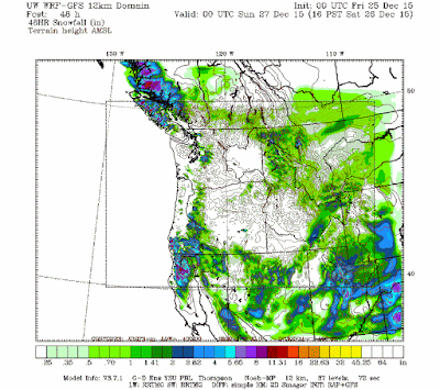
Another storm moves into Utah on Christmas eve with most of the widespread snow ending during the morning hours on Christmas day, a few spotty snow showers lingering over and near the mountains into the afternoon. Plan on a general 3-6" (local 8-12") of snow for most Utah mountains areas above 7,000 ft. Look for a general 1-3" (local 4-6" benches) of snow for the Wasatch front valleys. Click on the below map for the WRF model forecasted snow for this storm. Enjoy!

No comments:
Post a Comment