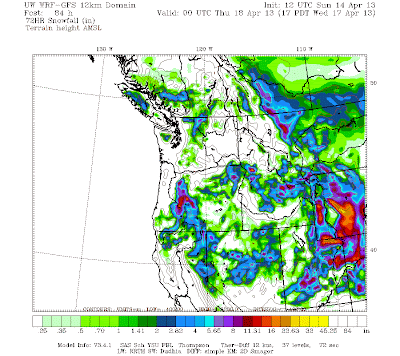
A slow moving winter storm is expected to slowly move through Utah Monday through Wednesday with accumulating snow mainly above 5,000 ft, temperatures do get cold enough for snow down to around 4,000 ft at times. As of now plan on a general 6-12" of snow above 7,000 ft for most all Utah mountain areas with local 12-24"+ focused over the Uintas. See below for model projected snow fall through 6 pm Wednesday.

No comments:
Post a Comment